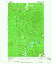
1957 Map of Lake Pleasant
USGS Topo · Published 1965About this map
Lake Pleasant and the surrounding timberlands of the Olympic Peninsula define this mid-century landscape during a peak era of forest management and industrial extraction. The map reveals a dense network of logging roads, old logging roads, and old railroad grades that weave through the Olympic National Forest, connecting remote outposts like Hoko Camp, Dickey Camp, and the settlement of Old Royal. Central to the area is the community of Sappho and the post office at Tyee, providing a glimpse into the local-history and genealogy of these small Olympic timber hubs.
Find a feature on this map
74 named features on this map. Tap any name to fly to it.
Don’t see what you’re looking for? This feature index may not catch every label — zoom into the map to look around manually.
Map Details
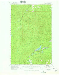
Editions of this 1957 Lake Pleasant Map

Other maps of this area

1922 · Pysht
USGS Topo · 1:62,500

1935 · Clallam
USGS Topo · 1:62,500

1935 · Ozette Lake
USGS Topo · 1:62,500

1935 · Lake Pleasant
USGS Topo · 1:62,500

1938 · Cape Flattery
USGS Topo · 1:62,500

1939 · Forks
USGS Topo · 1:62,500

1942 · Pysht
USGS Topo · 1:62,500

1942 · Clallam
USGS Topo · 1:62,500

1942 · Ozette Lake
USGS Topo · 1:62,500

1942 · Lake Pleasant
USGS Topo · 1:62,500