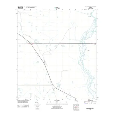
2012 Map of Lake Poinsett NW
USGS Topo · Published 2012About this map
The Saint Johns River defines the eastern landscape of this Florida quadrangle, winding through a complex network of wetlands and seasonal water channels. This area of Orange County is characterized by a high water table and low-lying terrain, where subtle elevation changes like Long Bluff and Possum Bluff provide the most stable ground near the river's edge. The hydrography of the region is further shaped by several drainage systems, including Second Cr, Jim Cr, and the Sweetwater Branch, which feed into the larger river basin.
Find a feature on this map
12 named features on this map. Tap any name to fly to it.
Don’t see what you’re looking for? This feature index may not catch every label — zoom into the map to look around manually.
Map Details
Editions of this 2012 Lake Poinsett NW Map
This is the sole edition of this map. No revisions or reprints were ever made.
Other maps of this area

1949 · Titusville
USGS Topo · 1:24,000

1949 · Sharpes
USGS Topo · 1:24,000

1951 · Sharpes
USGS Topo · 1:24,000

1952 · Titusville
USGS Topo · 1:24,000

1953 · Lake Poinsett
USGS Topo · 1:24,000

1953 · Narcoossee NE
USGS Topo · 1:24,000

1953 · Narcoossee SE
USGS Topo · 1:24,000

1953 · Lake Poinsett SW
USGS Topo · 1:24,000

1953 · Titusville SW
USGS Topo · 1:24,000

1953 · Lake Poinsett NW
USGS Topo · 1:24,000