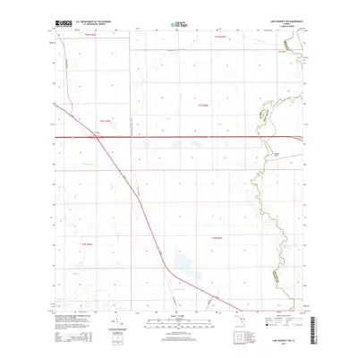
2015 Map of Lake Poinsett NW
USGS Topo · Published 2015About this map
The Saint Johns River forms a winding natural boundary along the eastern edge of this landscape, separating Orange and Brevard counties. This wetland-rich corridor is defined by expansive floodplains and hydrologic features including Halfway Lake and Sweetwater Br. To the west, the Florida National Scenic Trail cuts through the terrain, offering a specialized route for those traversing this segment of the peninsula's interior. Elevated points like Long Bluff and Possum Bluff provide relief from the surrounding marshy levels near the riverbank.
Find a feature on this map
21 named features on this map. Tap any name to fly to it.
Don’t see what you’re looking for? This feature index may not catch every label — zoom into the map to look around manually.
Map Details
Editions of this 2015 Lake Poinsett NW Map
This is the sole edition of this map. No revisions or reprints were ever made.
Other maps of this area

1949 · Titusville
USGS Topo · 1:24,000

1949 · Sharpes
USGS Topo · 1:24,000

1951 · Sharpes
USGS Topo · 1:24,000

1952 · Titusville
USGS Topo · 1:24,000

1953 · Lake Poinsett
USGS Topo · 1:24,000

1953 · Narcoossee NE
USGS Topo · 1:24,000

1953 · Narcoossee SE
USGS Topo · 1:24,000

1953 · Lake Poinsett SW
USGS Topo · 1:24,000

1953 · Titusville SW
USGS Topo · 1:24,000

1953 · Lake Poinsett NW
USGS Topo · 1:24,000