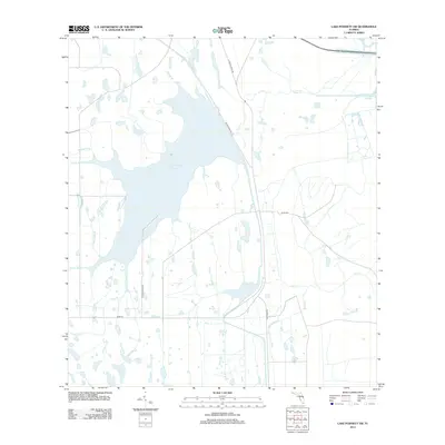
2012 Map of Lake Poinsett SW
USGS Topo · Published 2012About this map
The Taylor Creek Reservoir dominates this central Florida landscape, serving as a critical water management feature where the headwaters of the St. Johns River system begin to take shape. This 2012 survey reveals a hydrologically complex area defined by numerous named tributaries such as Beef Camp Br, Bull Br, and Gator Br, which feed into the primary reservoir. The terrain is a network of marshes and drainage channels that underscore the region's historical reliance on water control for ranching and agriculture.
Find a feature on this map
19 named features on this map. Tap any name to fly to it.
Don’t see what you’re looking for? This feature index may not catch every label — zoom into the map to look around manually.
Map Details
Editions of this 2012 Lake Poinsett SW Map
This is the sole edition of this map. No revisions or reprints were ever made.
Other maps of this area

1949 · Sharpes
USGS Topo · 1:24,000

1951 · Sharpes
USGS Topo · 1:24,000

1953 · Lake Poinsett
USGS Topo · 1:24,000

1953 · Deer Park NE
USGS Topo · 1:24,000

1953 · Narcoossee NE
USGS Topo · 1:24,000

1953 · Narcoossee SE
USGS Topo · 1:24,000

1953 · Deer Park NW
USGS Topo · 1:24,000

1953 · Lake Poinsett SW
USGS Topo · 1:24,000

1953 · Holopaw
USGS Topo · 1:24,000

1953 · Lake Poinsett NW
USGS Topo · 1:24,000