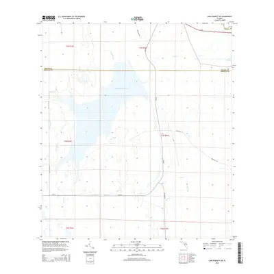
2015 Map of Lake Poinsett SW
USGS Topo · Published 2015About this map
Taylor Creek Reservoir dominates the central landscape of this Florida interior, straddling the boundary where Orange County meets Osceola County. The terrain is defined by a dense network of hydrologic features that drain into the reservoir and toward Lake Poinsett to the northeast. Small tributaries like Bull Br, Beef-Camp Br, and Gator Br weave through the low-lying wetlands, illustrating the natural drainage patterns of the upper St. Johns River basin.
Find a feature on this map
26 named features on this map. Tap any name to fly to it.
Don’t see what you’re looking for? This feature index may not catch every label — zoom into the map to look around manually.
Map Details
Editions of this 2015 Lake Poinsett SW Map
This is the sole edition of this map. No revisions or reprints were ever made.
Other maps of this area

1949 · Sharpes
USGS Topo · 1:24,000

1951 · Sharpes
USGS Topo · 1:24,000

1953 · Lake Poinsett
USGS Topo · 1:24,000

1953 · Deer Park NE
USGS Topo · 1:24,000

1953 · Narcoossee NE
USGS Topo · 1:24,000

1953 · Narcoossee SE
USGS Topo · 1:24,000

1953 · Deer Park NW
USGS Topo · 1:24,000

1953 · Lake Poinsett SW
USGS Topo · 1:24,000

1953 · Holopaw
USGS Topo · 1:24,000

1953 · Lake Poinsett NW
USGS Topo · 1:24,000