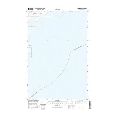
2014 Map of Lake Richie OE S
USGS Topo · Published 2014About this map
Lake Superior surrounds the northern reaches of the island wilderness documented in this 2014 survey. Much of the sheet is occupied by the open waters of the lake, yet the northern edge reveals the complex shoreline of Isle Royale, specifically within the boundaries of Isle Royale National Park. Here, the inland waters of Siskiwit Lake are visible, separated from the Great Lake by narrow strips of land. To the west, the underwater geography is marked by Glenlyon Shoal, a feature critical for navigation in these treacherous northern waters. The map provides a clear look at the protected status and remote character of this island chain, showing the intersection of Township 65 North and Range 35 West amidst the aquatic expanse.
Find a feature on this map
6 named features on this map. Tap any name to fly to it.
Don’t see what you’re looking for? This feature index may not catch every label — zoom into the map to look around manually.
Map Details
Editions of this 2014 Lake Richie OE S Map
This is the sole edition of this map. No revisions or reprints were ever made.
Other maps of this area

1958 · Hancock
USGS Topo · 1:250,000

1959 · Fort William
USGS Topo · 1:250,000

1960 · Hancock
USGS Topo · 1:250,000

1961 · Hancock
USGS Topo · 1:250,000

1966 · Hancock
USGS Topo · 1:250,000

1968 · Fort William
USGS Topo · 1:250,000

1985 · Todd Harbor
USGS Topo · 1:100,000

1985 · Siskiwit Bay
USGS Topo · 1:100,000
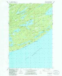
1985 · Lake Richie
USGS Topo · 1:24,000
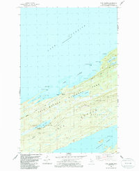
1985 · Todd Harbor
USGS Topo · 1:24,000