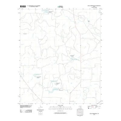
2010 Map of Lake Scarborough
USGS Topo · Published 2010About this map
Lake Scarborough and its associated Scarborough Dam anchor this rural Coleman County landscape, where water management defines the modern geography. The area is heavily marked by mid-century engineering efforts, including several detention ponds such as the Soil Conservation Service Site 25b Reservoir and Soil Conservation Service Site 24 Reservoir. These structures, built to manage runoff across the Buck Hollow terrain, illustrate the region's transition from open range to a highly regulated hydraulic environment.
Find a feature on this map
31 named features on this map. Tap any name to fly to it.
Don’t see what you’re looking for? This feature index may not catch every label — zoom into the map to look around manually.
Map Details
Editions of this 2010 Lake Scarborough Map
This is the sole edition of this map. No revisions or reprints were ever made.
Other maps of this area

1887 · Coleman
USGS Topo · 1:125,000

1889 · Coleman
USGS Topo · 1:125,000

1890 · Abilene
USGS Topo · 1:125,000

1892 · Abilene
USGS Topo · 1:125,000

1892 · Ballinger
USGS Topo · 1:125,000

1931 · Baird
USGS Topo · 1:125,000

1932 · Baird
USGS Topo · 1:125,000

1954 · Brownwood
USGS Topo · 1:250,000

1954 · Abilene
USGS Topo · 1:250,000

1958 · Abilene
USGS Topo · 1:250,000