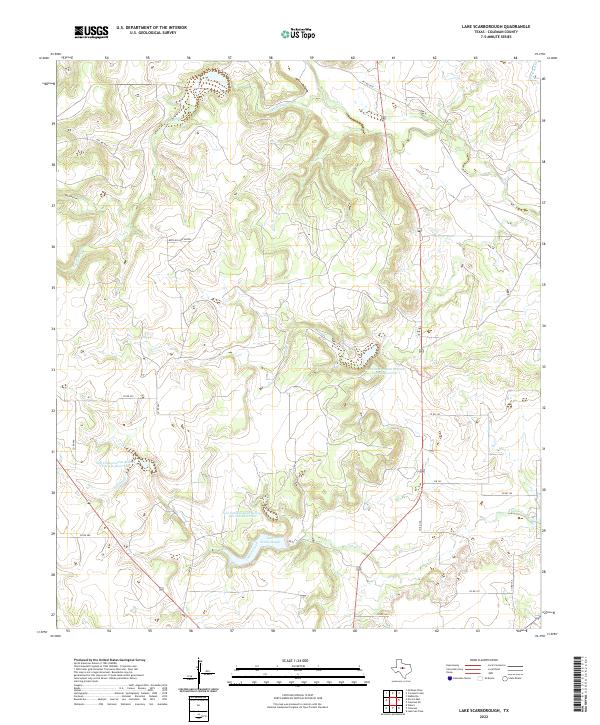
2022 Map of Lake Scarborough
USGS Topo · Published 2022About this map
Lake Scarborough anchors the southern portion of this landscape in Coleman County, where the hydrology is defined by a series of modern water management efforts. The terrain is characterized by numerous small drainages and larger named waterways like Turtle Bayou and Jim Ned Cr, which flow through a network of rural county roads. Several reservoirs, including Soil Conservation Service Site 25b Reservoir and Soil Conservation Service Site 24 Reservoir, indicate the region's reliance on managed water resources for agriculture and flood control. The presence of Buck Hollow Bayou and Buck Hollow suggests the natural relief that channels seasonal runoff toward the primary creek beds. This 2022 survey provides a contemporary view of the land use patterns and rural infrastructure that sustain this Central Texas ranching and farming area.
Find a feature on this map
27 named features on this map. Tap any name to fly to it.
Don’t see what you’re looking for? This feature index may not catch every label — zoom into the map to look around manually.
Map Details
Editions of this 2022 Lake Scarborough Map
This is the sole edition of this map. No revisions or reprints were ever made.
Other maps of this area

1887 · Coleman
USGS Topo · 1:125,000

1889 · Coleman
USGS Topo · 1:125,000

1890 · Abilene
USGS Topo · 1:125,000

1892 · Abilene
USGS Topo · 1:125,000

1892 · Ballinger
USGS Topo · 1:125,000

1931 · Baird
USGS Topo · 1:125,000

1932 · Baird
USGS Topo · 1:125,000

1954 · Brownwood
USGS Topo · 1:250,000

1954 · Abilene
USGS Topo · 1:250,000

1958 · Abilene
USGS Topo · 1:250,000