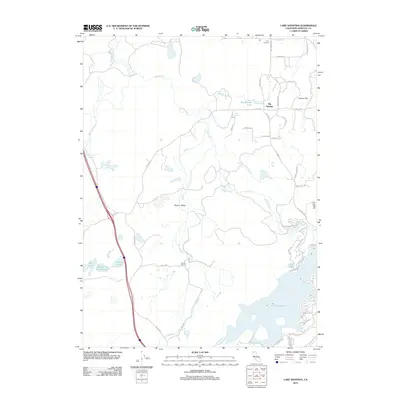
2012 Map of Lake Shastina
USGS Topo · Published 2012About this map
Shasta River and its numerous tributaries define the hydrology of this portion of the Shasta Valley. The landscape is marked by a unique cluster of volcanic-related features, including Hole in the Ground Lake and Hole-in the-Ground Spring. Human settlement is concentrated around the small community of Big Springs and the residential developments bordering the northern reaches of Lake Shastina, where roads like Dwinnell Way and Shoreline Dr trace the water's edge.
Find a feature on this map
44 named features on this map. Tap any name to fly to it.
Don’t see what you’re looking for? This feature index may not catch every label — zoom into the map to look around manually.
Map Details
Editions of this 2012 Lake Shastina Map
This is the sole edition of this map. No revisions or reprints were ever made.
Other maps of this area

1886 · Shasta
USGS Topo · 1:250,000

1894 · Shasta
USGS Topo · 1:250,000

1921 · Shasta Valley Sheet No 7
USGS Topo · 1:24,000

1921 · Shasta Valley Sheet No 11
USGS Topo · 1:24,000

1921 · Shasta Valley Sheet No 1
USGS Topo · 1:24,000

1921 · Shasta Valley Sheet No 6
USGS Topo · 1:24,000

1921 · Shasta Valley Sheet No 2
USGS Topo · 1:24,000

1922 · Shasta Valley Sheet No 10
USGS Topo · 1:24,000

1922 · Shasta Valley Sheet No 1 S
USGS Topo · 1:24,000

1922 · Shasta Valley Sheet No 9
USGS Topo · 1:24,000