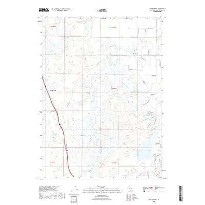
2018 Map of Lake Shastina
USGS Topo · Published 2018About this map
Shasta Valley serves as the backdrop for this study of Northern California water systems and land divisions. The settlement of Big Springs sits near a complex network of hydrologic features, including Big Springs Lake and the Shasta River. This landscape is defined by its unusual drainage patterns, characterized by features such as Hole in the Ground Cr and the nearby Hole in the Ground Lake, which illustrate the volcanic geology of the region.
Find a feature on this map
52 named features on this map. Tap any name to fly to it.
Don’t see what you’re looking for? This feature index may not catch every label — zoom into the map to look around manually.
Map Details
Editions of this 2018 Lake Shastina Map
This is the sole edition of this map. No revisions or reprints were ever made.
Other maps of this area

1886 · Shasta
USGS Topo · 1:250,000

1894 · Shasta
USGS Topo · 1:250,000

1921 · Shasta Valley Sheet No 7
USGS Topo · 1:24,000

1921 · Shasta Valley Sheet No 11
USGS Topo · 1:24,000

1921 · Shasta Valley Sheet No 1
USGS Topo · 1:24,000

1921 · Shasta Valley Sheet No 6
USGS Topo · 1:24,000

1921 · Shasta Valley Sheet No 2
USGS Topo · 1:24,000

1922 · Shasta Valley Sheet No 10
USGS Topo · 1:24,000

1922 · Shasta Valley Sheet No 1 S
USGS Topo · 1:24,000

1922 · Shasta Valley Sheet No 9
USGS Topo · 1:24,000