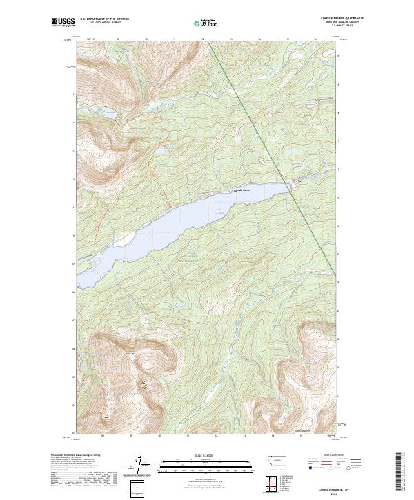
2024 Map of Lake Sherburne
USGS Topo · Published 2024About this map
Glacier National Park dominates this mountainous landscape, defined by high-elevation peaks and glacial water systems. The large expanse of Lake Sherburne sits at the center of the terrain, fed by Swiftcurrent Creek and surrounded by steep ridges including Swiftcurrent Ridge. The geography is shaped by water movement from Kennedy Creek in the north to Boulder Creek in the south, while summits like Wynn Mtn and East Flattop Mtn provide significant vertical relief.
Find a feature on this map
28 named features on this map. Tap any name to fly to it.
Don’t see what you’re looking for? This feature index may not catch every label — zoom into the map to look around manually.
Map Details
Editions of this 2024 Lake Sherburne Map
This is the sole edition of this map. No revisions or reprints were ever made.
Other maps of this area

1901 · Browning
USGS Topo · 1:125,000

1903 · Browning
USGS Topo · 1:125,000

1904 · Chief Mountain
USGS Topo · 1:125,000

1938 · Chief Mountain
USGS Topo · 1:125,000

1960 · Cut Bank
USGS Topo · 1:250,000

1963 · Cut Bank
USGS Topo · 1:250,000

1964 · Cut Bank
USGS Topo · 1:250,000

1968 · Saint Mary
USGS Topo · 1:24,000

1968 · Gable Mountain
USGS Topo · 1:24,000

1968 · Babb
USGS Topo · 1:24,000