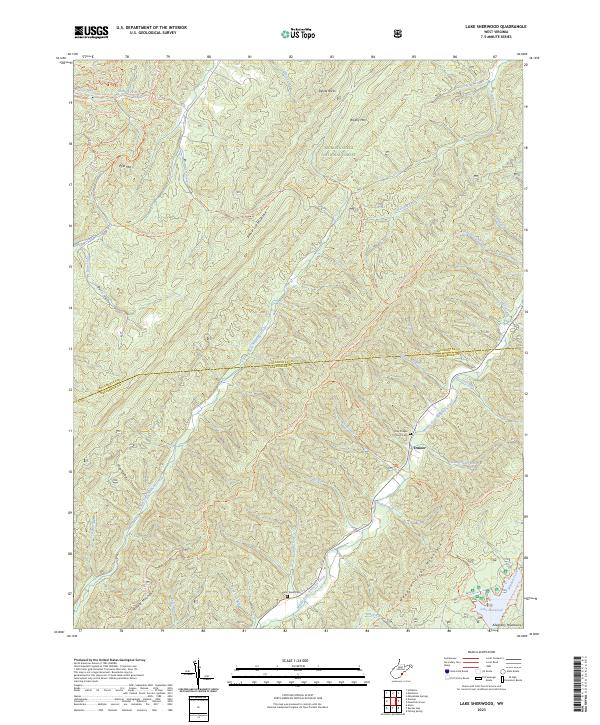
2023 Map of Lake Sherwood
USGS Topo · Published 2023About this map
Monongahela National Forest dominates this section of the Allegheny Mountains, where the border between Pocahontas Co and Greenbrier Co follows high ridges and creek beds. The landscape is defined by parallel mountain chains, including Middle Mountain and Beaver Lick Mountain, which channel numerous tributaries toward the Middle Fork Anthonys Creek. Small-scale human markers are clustered in the narrow valleys, such as the settlement of Trainer and the quiet May Chapel Church Cem.
Find a feature on this map
51 named features on this map. Tap any name to fly to it.
Don’t see what you’re looking for? This feature index may not catch every label — zoom into the map to look around manually.
Map Details
Editions of this 2023 Lake Sherwood Map
This is the sole edition of this map. No revisions or reprints were ever made.
Other maps of this area

1887 · Lewisburg
USGS Topo · 1:125,000

1891 · Lewisburg
USGS Topo · 1:125,000

1891 · Huntersville
USGS Topo · 1:125,000

1894 · Huntersville
USGS Topo · 1:125,000

1894 · Natural Bridge
USGS Topo · 1:125,000

1901 · Monterey
USGS Topo · 1:125,000

1921 · Callaghan
USGS Topo · 1:48,000

1923 · Marlinton
USGS Topo · 1:48,000

1923 · Warm Springs
USGS Topo · 1:48,000

1923 · Callaghan
USGS Topo · 1:62,500