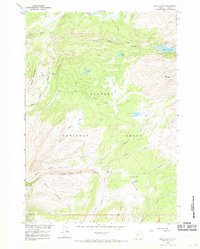
1960 Map of Lake Solitude
USGS Topo · Published 1969About this map
Bighorn National Forest serves as the backdrop for this high-altitude 1960 field survey, where the seasonal patterns of the cattle industry are recorded through remote outposts like Crain Camp and Hyatt Cow Camp. The landscape is dominated by glacial features and alpine waters, most notably the high basin of Lake Solitude and the drainages of Paint Rock Creek. A network of pack trails and jeep trails navigates the varied terrain between Cement Mountain and Elk Mountain, connecting isolated meadows such as Battle Park and Long Park. The presence of Buck Creek Cow Camp and family-named landmarks like Buckskin Ed Creek and Bellyache Flats provides concrete evidence of the area's mid-century grazing history and the local nomenclature used by those who worked this mountain range.
Find a feature on this map
31 named features on this map. Tap any name to fly to it.
Don’t see what you’re looking for? This feature index may not catch every label — zoom into the map to look around manually.
Map Details
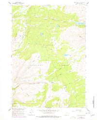
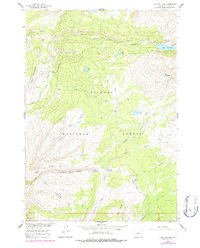
Editions of this 1960 Lake Solitude Map
4 editions found
Other maps of this area

1899 · Cloud peak
USGS Topo · 1:125,000

1901 · Cloud Peak
USGS Topo · 1:125,000

1955 · Sheridan
USGS Topo · 1:250,000

1958 · Sheridan
USGS Topo · 1:250,000

1960 · Shell Lake
USGS Topo · 1:24,000

1960 · Lake Solitude
USGS Topo · 1:24,000

1960 · Spanish Point
USGS Topo · 1:24,000

1962 · Sheridan
USGS Topo · 1:250,000

1967 · Brokenback Narrows
USGS Topo · 1:24,000
1967 · Meadowlark Lake
USGS Topo · 1:24,000