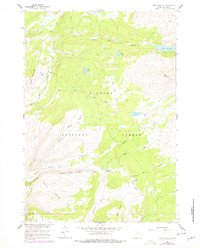
1960 Map of Lake Solitude
USGS Topo · Published 1978About this map
Bighorn National Forest defines this high-altitude landscape, where deep glaciated basins and sharp ridges dominate the terrain. This 1960 survey, updated with late 1970s revisions, illustrates the seasonal grazing and recreational infrastructure of the era, marked by remote outposts like Hyatt Cow Camp, Crain Camp, and Buck Creek Cow Camp. The drainage patterns of Paint Rock Creek and its branches carve through the highlands, feeding numerous alpine lakes such as Lake Solitude, Lily Lake, and Poacher Lake. The map reveals an intricate network of Pack Trails and Jeep Trails connecting grazing areas like Long Park and Battle Park, providing a detailed look at the land use patterns before modern wilderness designations further restricted motorized access.
Find a feature on this map
31 named features on this map. Tap any name to fly to it.
Don’t see what you’re looking for? This feature index may not catch every label — zoom into the map to look around manually.
Map Details
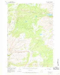
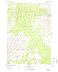
Editions of this 1960 Lake Solitude Map
4 editions found
Other maps of this area

1899 · Cloud peak
USGS Topo · 1:125,000

1901 · Cloud Peak
USGS Topo · 1:125,000

1955 · Sheridan
USGS Topo · 1:250,000

1958 · Sheridan
USGS Topo · 1:250,000

1960 · Shell Lake
USGS Topo · 1:24,000

1960 · Lake Solitude
USGS Topo · 1:24,000

1960 · Spanish Point
USGS Topo · 1:24,000

1962 · Sheridan
USGS Topo · 1:250,000

1967 · Brokenback Narrows
USGS Topo · 1:24,000
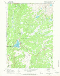
1967 · Meadowlark Lake
USGS Topo · 1:24,000