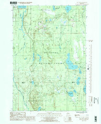
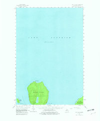
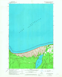
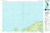
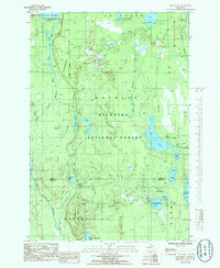
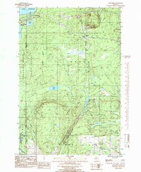
1985 Map of Lake Stella
USGS Topo · Published 1985This historical map portrays the area of Lake Stella in 1985, primarily covering Alger County as well as portions of Delta County. Featuring a scale of 1:24000, this map provides a highly detailed snapshot of the terrain, roads, buildings, counties, and historical landmarks in the Lake Stella region at the time. Published in 1985, it is one of 2 known editions of this map due to revisions or reprints.
Find a feature on this map
31 named features on this map. Tap any name to fly to it.
Don’t see what you’re looking for? This feature index may not catch every label — zoom into the map to look around manually.
Map Details
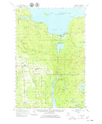
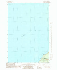
Editions of this 1985 Lake Stella Map
2 editions found
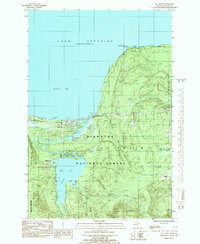
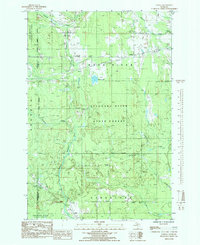
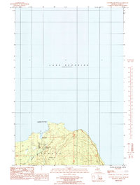
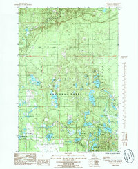
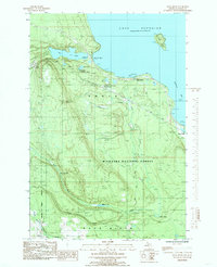
Historical Maps of Nahma Township Through Time
31 maps found

1932 Rock NE
Alger County, MI

1932 Skandia NE
Alger County, MI

1932 Skandia SE
Alger County, MI
1958 Au Train
Alger County, MI
1958 Grand Portal Point
Alger County, MI
1958 Laughing Fish Point
Alger County, MI
1958 Wood Island
Alger County, MI
1966 Au Sable Point
Alger County, MI
1966 Au Sable Point SE
Alger County, MI
1966 Au Sable Point SW
Alger County, MI
1966 Grand Sable Lake
Alger County, MI
1968 Nawakwa Lake
Alger County, MI
1983 Grand Portal Point
Alger County, MI
1983 Melstrand
Alger County, MI

1983 Trappers Lake
Alger County, MI
1984 Au Sable Point
Alger County, MI

1984 Indian Town
Alger County, MI
1984 Wood Island SE
Alger County, MI
1985 Au Train
Alger County, MI

1985 Diffin
Alger County, MI

1985 Forest Lake
Alger County, MI
1985 Ladoga
Alger County, MI
1985 Lake Stella
Alger County, MI
1985 Laughing Fish Point
Alger County, MI
1985 Powell Lake
Alger County, MI
1985 Rock River
Alger County, MI
1985 Sand River
Alger County, MI
1985 Shot Point
Alger County, MI

1985 Tie Lake
Alger County, MI

1985 Trenary
Alger County, MI
1985 Wood Island
Alger County, MI
Featured Locations
- Masonville Township, MI
- Nahma Township, MI
- Au Train Township, MI
- Limestone Township, MI
- Mathias Township, MI