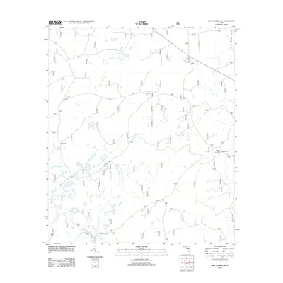
2012 Map of Lake Talquin SE
USGS Topo · Published 2012About this map
The Sopchoppy River drainage system dominates this portion of the Apalachicola National Forest, characterized by its winding tributaries and specialized hunting and forestry camps. Remote outposts such as Otter Camp and Buck Horn Camp reflect the area's use for seasonal recreation and timber management in the early 21st century. The map details the intricate network of forest service arteries, including National Forest Rd 342 and Forest Rd 306, which provide access to the dense woodland. The landscape is defined by the convergence of the W Br Sopchoppy River and E Br Sopchoppy River, alongside the eastern flow of Lost Cr. Locations like the Browns House Hunt Camp indicate a history of local land use tied to the Florida backcountry, where water resources and primitive roads dictate the movement of people and wildlife.
Find a feature on this map
15 named features on this map. Tap any name to fly to it.
Don’t see what you’re looking for? This feature index may not catch every label — zoom into the map to look around manually.
Map Details
Editions of this 2012 Lake Talquin SE Map
This is the sole edition of this map. No revisions or reprints were ever made.
Other maps of this area

1940 · Tallahassee
USGS Topo · 1:62,500

1940 · Arran
USGS Topo · 1:62,500

1942 · Tallahassee
USGS Topo · 1:62,500

1943 · Arran
USGS Topo · 1:62,500

1943 · Tallahassee
USGS Topo · 1:62,500

1943 · Lake Talquin
USGS Topo · 1:62,500

1945 · Smith Creek
USGS Topo · 1:31,680

1945 · Bradwell Bay
USGS Topo · 1:31,680

1954 · Tallahassee
USGS Topo · 1:250,000

1959 · Tallahassee
USGS Topo · 1:250,000