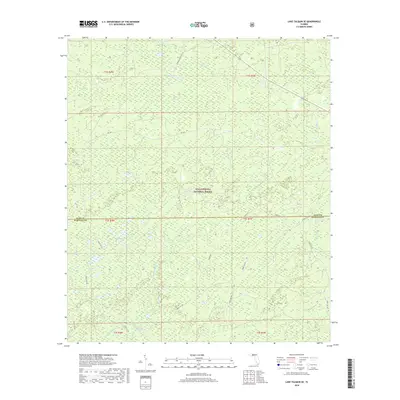
2018 Map of Lake Talquin SE
USGS Topo · Published 2018About this map
Apalachicola National Forest dominates the landscape of this 2018 survey, covering a vast expanse of swamp and woodland across the border of Leon and Wakulla Counties. The hydrologic network is the map's primary defining characteristic, particularly where the E Br Sopchoppy River and W Br Sopchoppy River converge into the main stem of the Sopchoppy River. The terrain is marked by numerous bay-galls and basins, including Grand Bay, Wolf Trap Bay, and Freeman Bay, which illustrate the low-lying wetland environment typical of the Florida Panhandle's interior.
Find a feature on this map
22 named features on this map. Tap any name to fly to it.
Don’t see what you’re looking for? This feature index may not catch every label — zoom into the map to look around manually.
Map Details
Editions of this 2018 Lake Talquin SE Map
This is the sole edition of this map. No revisions or reprints were ever made.
Other maps of this area

1940 · Tallahassee
USGS Topo · 1:62,500

1940 · Arran
USGS Topo · 1:62,500

1942 · Tallahassee
USGS Topo · 1:62,500

1943 · Arran
USGS Topo · 1:62,500

1943 · Tallahassee
USGS Topo · 1:62,500

1943 · Lake Talquin
USGS Topo · 1:62,500

1945 · Smith Creek
USGS Topo · 1:31,680

1945 · Bradwell Bay
USGS Topo · 1:31,680

1954 · Tallahassee
USGS Topo · 1:250,000

1959 · Tallahassee
USGS Topo · 1:250,000