
1942 Map of Lake Tapps
USGS Topo · Published 1962About this map
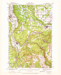
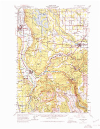
White River and the Carbon River define this corner of the Puget Sound lowlands as they existed in the early 1940s. The landscape reflects a mix of heavy industry and institutional history, notably the State Soldiers Home near Orting and the Coal Mines clustered around Wilkeson and Burnett. The Muckleshoot Indian Reservation occupies the northern reach, while commemorative markers like the Connell & Prairie Battle Monument anchor the map in regional history.
Find a feature on this map
97 named features on this map. Tap any name to fly to it.
Don’t see what you’re looking for? This feature index may not catch every label — zoom into the map to look around manually.
Map Details
Editions of this 1942 Lake Tapps Map
3 editions found
Other maps of this area

1897 · Tacoma
USGS Topo · 1:125,000

1900 · Tacoma
USGS Topo · 1:125,000

1913 · Cedar Lake
USGS Topo · 1:125,000

1924 · Mt Rainier
USGS Topo · 1:96,000

1928 · Mt Rainier
USGS Topo · 1:125,000

1937 · Eatonville
USGS Topo · 1:125,000

1941 · Tanwax Lake
USGS Topo · 1:62,500

1941 · Tacoma South
USGS Topo · 1:62,500

1944 · Lake Tapps
USGS Topo · 1:62,500

1944 · Tacoma South
USGS Topo · 1:62,500