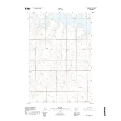
2020 Map of Lake Tschida West
USGS Topo · Published 2020About this map
Lake Tschida dominates the northern reaches of this landscape, formed where the Heart River meets several small tributaries including Coal Cr and Sled Cr. The surrounding terrain is defined by the Stone Hills, which overlook a network of section-line roads and prairie coulees. For genealogists and local historians, the presence of Johannestal Cem and Trinity Lutheran Cem provides a clear link to the German-Russian heritage and early settlement patterns of this portion of Grant County. The map details the rural infrastructure and land divisions that persist into the 21st century, illustrating how the man-made reservoir has reshaped the original river valley.
Find a feature on this map
20 named features on this map. Tap any name to fly to it.
Don’t see what you’re looking for? This feature index may not catch every label — zoom into the map to look around manually.
Map Details
Editions of this 2020 Lake Tschida West Map
This is the sole edition of this map. No revisions or reprints were ever made.
Other maps of this area

1938 · Heart Butte
USGS Topo · 1:48,000

1944 · Heart Butte
USGS Topo · 1:62,500

1953 · Dickinson
USGS Topo · 1:250,000

1954 · Bismarck
USGS Topo · 1:250,000

1957 · Dickinson
USGS Topo · 1:250,000

1958 · Bismarck
USGS Topo · 1:250,000

1960 · Heart Butte NW
USGS Topo · 1:24,000

1960 · Clark Butte NE
USGS Topo · 1:24,000

1960 · Heart Butte
USGS Topo · 1:24,000

1960 · Clark Butte
USGS Topo · 1:24,000