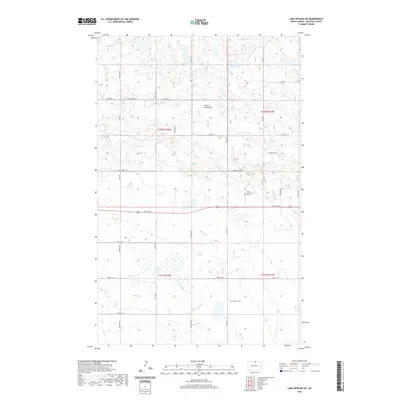
2020 Map of Lake Upsilon SW
USGS Topo · Published 2020About this map
The Turtle Mountains define the northern portion of this landscape, where the terrain is marked by numerous small depressions and water bodies typical of this glacial upland region. Cassidy Lake and Howard Lake sit among the higher elevations in the north, while Holywater Spring provides a distinct hydrological point of interest near the center of the quadrangle. As the land descends toward the south, the drainage patterns of Snake Cr and Mud Cr become more prominent, cutting through the section lines.
Find a feature on this map
24 named features on this map. Tap any name to fly to it.
Don’t see what you’re looking for? This feature index may not catch every label — zoom into the map to look around manually.
Map Details
Editions of this 2020 Lake Upsilon SW Map
This is the sole edition of this map. No revisions or reprints were ever made.
Other maps of this area

1935 · Dunseith
USGS Topo · 1:48,000

1936 · Lake Upsilon
USGS Topo · 1:48,000

1939 · Dunseith
USGS Topo · 1:62,500

1942 · Lake Upsilon
USGS Topo · 1:62,500

1953 · Devils Lake
USGS Topo · 1:250,000

1954 · Minot
USGS Topo · 1:250,000

1955 · Fonda
USGS Topo · 1:24,000

1955 · Thorne
USGS Topo · 1:24,000

1955 · Dunseith
USGS Topo · 1:24,000

1955 · Lake Upsilon SW
USGS Topo · 1:24,000