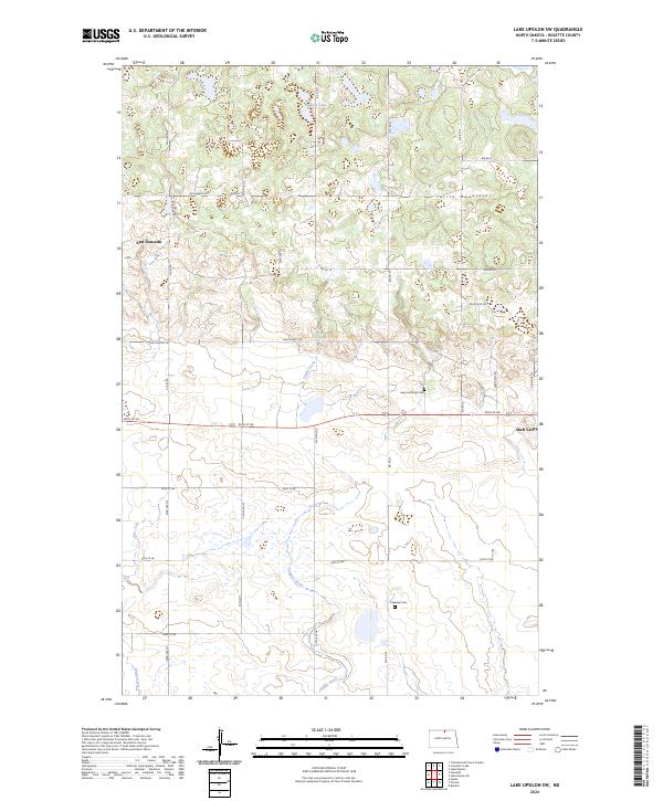
2024 Map of Lake Upsilon SW
USGS Topo · Published 2024About this map
The Turtle Mountains define the northern terrain of this 2024 landscape, where the wooded hills meet the prairie wetlands of North Dakota. The Rolette County Waterfowl Production Area occupies a significant portion of the northern quadrant, reflecting the region's dedication to habitat preservation among a network of glacial lakes and springs like Howard Lake and Holywater Spring. Settlement is concentrated in the small communities of East Dunseith and Shell Valley, with the southern half of the map dominated by the winding path of Snake Creek as it meanders through seasonal wetlands. Local history is anchored by the Saint Anthonys Cem and Lakeview Cem, which serve as quiet landmarks for genealogists tracing families in this rural borderland. The intricate network of Bureau of Indian Affairs roads, such as Bia RD 23 and Bia RD 8, highlights the infrastructure supporting the local community and land management.
Find a feature on this map
32 named features on this map. Tap any name to fly to it.
Don’t see what you’re looking for? This feature index may not catch every label — zoom into the map to look around manually.
Map Details
Editions of this 2024 Lake Upsilon SW Map
This is the sole edition of this map. No revisions or reprints were ever made.
Other maps of this area

1935 · Dunseith
USGS Topo · 1:48,000

1936 · Lake Upsilon
USGS Topo · 1:48,000

1939 · Dunseith
USGS Topo · 1:62,500

1942 · Lake Upsilon
USGS Topo · 1:62,500

1953 · Devils Lake
USGS Topo · 1:250,000

1954 · Minot
USGS Topo · 1:250,000

1955 · Fonda
USGS Topo · 1:24,000

1955 · Thorne
USGS Topo · 1:24,000

1955 · Dunseith
USGS Topo · 1:24,000

1955 · Lake Upsilon SW
USGS Topo · 1:24,000