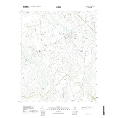
2020 Map of Lake View
USGS Topo · Published 2020About this map
Lake View serves as the central hub of this South Carolina landscape, situated near the state line where Pages Millpond and Spiveys Millpond dominate the local hydrology. The area is defined by its numerous swampy basins, including Bear Swamp, Ashpole Swamp, and the winding course of the Little Pee Dee River. Smaller settlements and landmark intersections like High Hill Crossroads, Kemper, and May Hilltop reveal the historical development of Dillon County's rural road network.
Find a feature on this map
136 named features on this map. Tap any name to fly to it.
Don’t see what you’re looking for? This feature index may not catch every label — zoom into the map to look around manually.
Map Details
Editions of this 2020 Lake View Map
This is the sole edition of this map. No revisions or reprints were ever made.
Other maps of this area

1943 · Pages Mill
USGS Topo · 1:62,500

1946 · Mullins
USGS Topo · 1:24,000

1947 · Mullins
USGS Topo · 1:24,000

1948 · Nichols
USGS Topo · 1:24,000

1949 · Duford
USGS Topo · 1:24,000

1950 · Nichols
USGS Topo · 1:24,000

1953 · Florence
USGS Topo · 1:250,000

1954 · Florence
USGS Topo · 1:250,000

1959 · Fork
USGS Topo · 1:24,000

1960 · Dillon East
USGS Topo · 1:24,000