Loading...
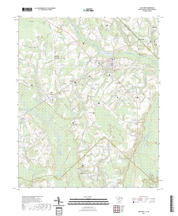
Loading map...2024 Map of Lake View
USGS Topo · Published 2024About this map
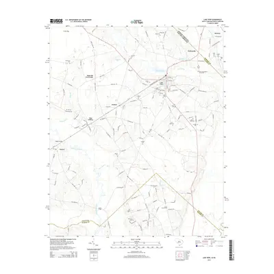
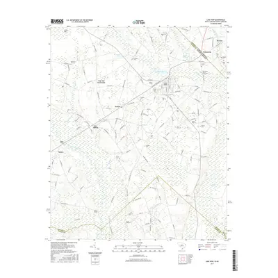
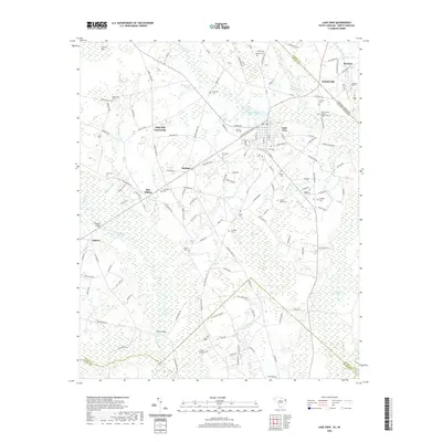
Lake View serves as a central hub in this corner of the Carolinas, situated where the state line divides the landscape between Dillon and Robeson counties. The area is defined by an intricate network of wetlands and water bodies, including the expansive Ashpole Swamp, Bear Swamp, and Crutchlow Bay. These natural features dictated the early settlement patterns, with communities like High Hill Crossroads and Kemper rising on the higher ground between the swamps.
Find a feature on this map
149 named features on this map. Tap any name to fly to it.
Don’t see what you’re looking for? This feature index may not catch every label — zoom into the map to look around manually.
Map Details
Date Portrayed2024
Date Published2024
PublisherU.S. Geological Survey
Map TypeTopographic
Scale1:24,000
Physical Dimensions24 x 29 inches
Editions of this 2024 Lake View Map
This is the sole edition of this map. No revisions or reprints were ever made.
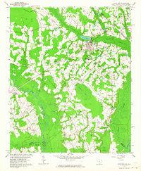
Historical Maps of Lake View Through Time
7 maps found
Featured Locations
Source Details
SourceU.S. Geological Survey
CopyrightPublic Domain