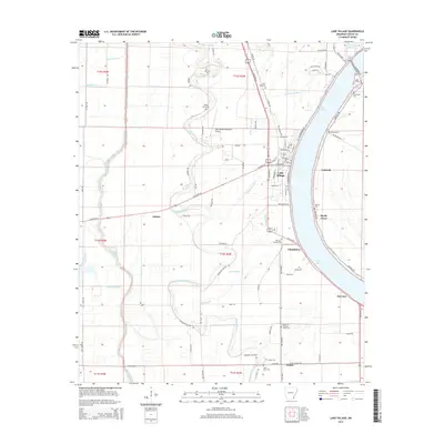
2014 Map of Lake Village
USGS Topo · Published 2014About this map
Lake Village and the crescent-shaped waters of Lake Chicot anchor this survey of the Mississippi Delta landscape in Chicot County. The terrain is defined by a dense network of slow-moving waterways, including the winding course of Bayou Macon and Little Lake Bayou, which reflect the region's alluvial history and agricultural character. Small community clusters such as Chanticleer, Fairview, and Jennie are scattered along the highways and secondary roads like AR 159 Hwy S, illustrating the rural settlement patterns that persist into the 21st century.
Find a feature on this map
95 named features on this map. Tap any name to fly to it.
Don’t see what you’re looking for? This feature index may not catch every label — zoom into the map to look around manually.
Map Details
Editions of this 2014 Lake Village Map
This is the sole edition of this map. No revisions or reprints were ever made.
Other maps of this area

1936 · Eudora
USGS Topo · 1:62,500

1936 · Lake Village
USGS Topo · 1:62,500

1939 · Readland
USGS Topo · 1:62,500

1939 · Refuge
USGS Topo · 1:62,500

1953 · Greenwood
USGS Topo · 1:250,000

1955 · Lake Village
USGS Topo · 1:62,500

1956 · Greenwood
USGS Topo · 1:250,000

1957 · Eudora
USGS Topo · 1:62,500
1970 · Luna
USGS Topo · 1:24,000
1970 · Red Leaf
USGS Topo · 1:24,000