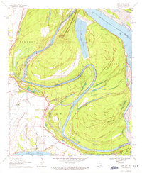
1970 Map of Luna
USGS Topo · Published 1971About this map
Old River meanders through this portion of the Mississippi delta, where the shifting border between Arkansas and Mississippi traces former river channels. The landscape is defined by extensive levee systems and the historical scars of the river’s power, specifically the Panther Forest Crevasse (1892-1912) located near the bend. This area highlights the transition from river-dependent commerce to a landscape dominated by agriculture and flood control, with Gaines Landing and Luna Landing serving as historic points of access along the water. In the south, the northern tip of Lake Chicot and the Lake Chicot State Park show the conversion of an oxbow lake into a recreational landmark. Navigational markers like Ashbrook Neck and Woodstock Island demonstrate the complex hydrology and the myriad of smaller lakes like Willow Lake and Mud Lake left behind by the river's changing course.
Find a feature on this map
39 named features on this map. Tap any name to fly to it.
Don’t see what you’re looking for? This feature index may not catch every label — zoom into the map to look around manually.
Map Details
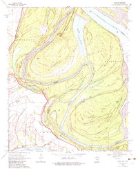
Editions of this 1970 Luna Map
2 editions found
Other maps of this area

1933 · Lamont
USGS Topo · 1:62,500

1936 · McGehee
USGS Topo · 1:62,500

1936 · Lake Village
USGS Topo · 1:62,500

1937 · McGehee
USGS Topo · 1:62,500

1939 · Refuge
USGS Topo · 1:62,500

1939 · Lamont
USGS Topo · 1:62,500

1953 · Greenwood
USGS Topo · 1:250,000

1955 · Lake Village
USGS Topo · 1:62,500

1955 · McGehee
USGS Topo · 1:62,500

1956 · Greenwood
USGS Topo · 1:250,000