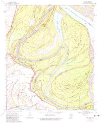
1970 Map of Luna
USGS Topo · Published 1982About this map
Mississippi River dynamics define this riverfront landscape along the border of Arkansas and Mississippi, where the migrating channel has left a complex network of chutes and oxbows. The map documents the shifting hydrology of the region, specifically noting the Panther Forest Crevasse 1892-1912, a historical breach in the river's bank. Settlement is concentrated along the higher ground of the Levee, with Gaines Landing, Luna, and Leland serving as focal points for local navigation and transport. A massive Railroad line cuts across the oxbow of Linwood Neck, while significant water bodies like Ashbrook Lake, Paradise Lake, and Lake Chicot provide a look at the former river courses. The area south of Luna Bar shows the intricate geography of Woodstock Island, flanked by Hardwood Hill and the long expanse of Backbone Ridge.
Find a feature on this map
39 named features on this map. Tap any name to fly to it.
Don’t see what you’re looking for? This feature index may not catch every label — zoom into the map to look around manually.
Map Details
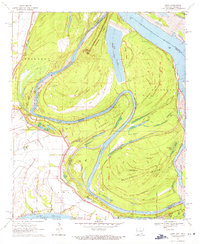
Editions of this 1970 Luna Map
2 editions found
Other maps of this area

1933 · Lamont
USGS Topo · 1:62,500

1936 · McGehee
USGS Topo · 1:62,500

1936 · Lake Village
USGS Topo · 1:62,500

1937 · McGehee
USGS Topo · 1:62,500

1939 · Refuge
USGS Topo · 1:62,500

1939 · Lamont
USGS Topo · 1:62,500

1953 · Greenwood
USGS Topo · 1:250,000

1955 · Lake Village
USGS Topo · 1:62,500

1955 · McGehee
USGS Topo · 1:62,500

1956 · Greenwood
USGS Topo · 1:250,000