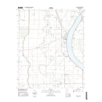
2017 Map of Lake Village
USGS Topo · Published 2017About this map
Lake Village and the crescent sweep of Lake Chicot dominate this Mississippi Delta landscape in Chicot County. The area is defined by its complex hydrology, where the oxbow lake sits alongside winding waterways like Bayou Macon and the Boeuf River. Settlement patterns follow the higher ground and road networks, with smaller communities such as Chanticleer, Ashton, and Jennie appearing as distinct clusters amid the agricultural fields. The map reveals a dense network of local routes, including Sixteen Section Rd and State Hwy 159, which connect the rural townships.
Find a feature on this map
98 named features on this map. Tap any name to fly to it.
Don’t see what you’re looking for? This feature index may not catch every label — zoom into the map to look around manually.
Map Details
Editions of this 2017 Lake Village Map
This is the sole edition of this map. No revisions or reprints were ever made.
Other maps of this area

1936 · Eudora
USGS Topo · 1:62,500

1936 · Lake Village
USGS Topo · 1:62,500

1939 · Readland
USGS Topo · 1:62,500

1939 · Refuge
USGS Topo · 1:62,500

1953 · Greenwood
USGS Topo · 1:250,000

1955 · Lake Village
USGS Topo · 1:62,500

1956 · Greenwood
USGS Topo · 1:250,000

1957 · Eudora
USGS Topo · 1:62,500
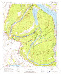
1970 · Luna
USGS Topo · 1:24,000
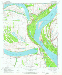
1970 · Red Leaf
USGS Topo · 1:24,000