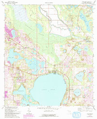
1970 Map of Lake Weir
USGS Topo · Published 1993About this map
The Ocklawaha River and the northern reaches of Lake Weir define this landscape on the edge of the Ocala National Forest. Surveyed in 1970 with updates reflecting 1990 conditions, the map shows the complex hydrology of north-central Florida, where the dense Marshall Swamp and Heather Island separate the river from the citrus groves and residential expansion near Candler. The riverine economy is evident at Moss Bluff, where the Moss Bluff Lock and Dam and a Gaging Sta regulate the waterway. Local history is anchored by landmarks like St Pauls Ch and several family-named water bodies including Lake Fay, Lake Pendarvis, and Halford Lake. Traces of older land use appear in the Old Boat Trail and various sandpits and quarries, while the emergence of Hampton Beach and leisure sites around the lake indicate the area's transition toward recreation and retirement communities.
Find a feature on this map
24 named features on this map. Tap any name to fly to it.
Don’t see what you’re looking for? This feature index may not catch every label — zoom into the map to look around manually.
Map Details
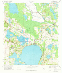
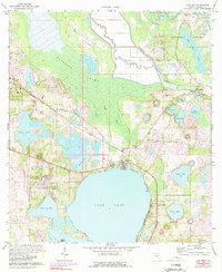
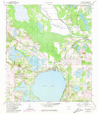
Editions of this 1970 Lake Weir Map
4 editions found
Other maps of this area

1893 · Panasoffkee
USGS Topo · 1:62,500

1895 · Panasoffkee
USGS Topo · 1:62,500

1895 · Ocala
USGS Topo · 1:62,500

1954 · Gainesville
USGS Topo · 1:250,000

1954 · Daytona Beach
USGS Topo · 1:250,000

1955 · Plant City
USGS Topo · 1:250,000

1955 · Orlando
USGS Topo · 1:250,000

1957 · Orlando
USGS Topo · 1:250,000

1958 · Orlando
USGS Topo · 1:250,000

1958 · Daytona Beach
USGS Topo · 1:250,000