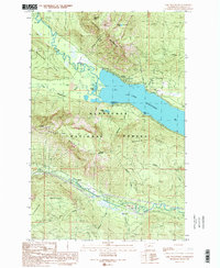
1989 Map of Lake Wenatchee
USGS Topo · Published 1989About this map
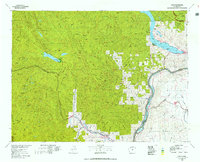
Lake Wenatchee serves as the focal point of this 1980s landscape, where the confluence of the White River and the Little Wenatchee River feeds into the northern shore. The terrain is characterized by the high elevations of Dirtyface Mountain and Nason Ridge, which frame the valley floor. Transportation and infrastructure are concentrated along the southern corridor, where Nason Creek flows toward the lake. The presence of the Nason Creek State Airport and the small settlement of Merritt indicates the area's role as a mountain transit point during this era.
Find a feature on this map
35 named features on this map. Tap any name to fly to it.
Don’t see what you’re looking for? This feature index may not catch every label — zoom into the map to look around manually.
Map Details
Editions of this 1989 Lake Wenatchee Map
2 editions found
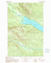
Other maps of this area

1901 · Chiwaukum
USGS Topo · 1:125,000

1904 · Chiwaukum
USGS Topo · 1:125,000

1957 · Wenatchee
USGS Topo · 1:250,000

1964 · Leavenworth
USGS Topo · 1:62,500

1965 · Chiwaukum Mts
USGS Topo · 1:62,500

1965 · Wenatchee Lake
USGS Topo · 1:62,500
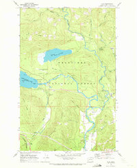
1968 · Plain
USGS Topo · 1:24,000
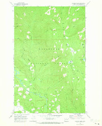
1968 · Chikamin Creek
USGS Topo · 1:24,000
1975 · Chelan
USGS Topo · 1:100,000
1989 · Big Jim Mountain
USGS Topo · 1:24,000