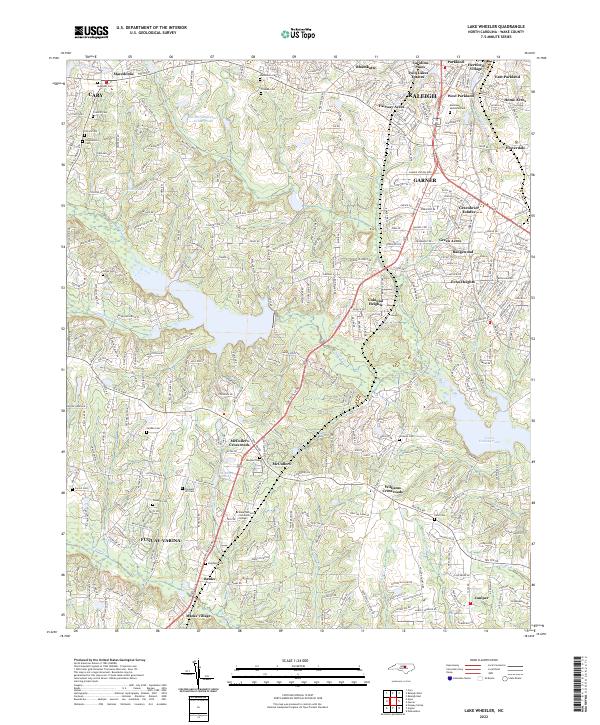
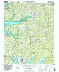
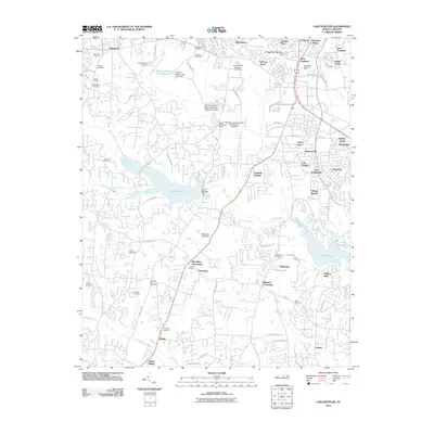
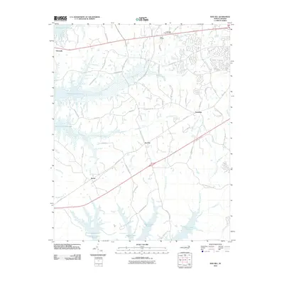
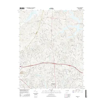
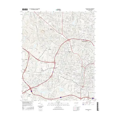
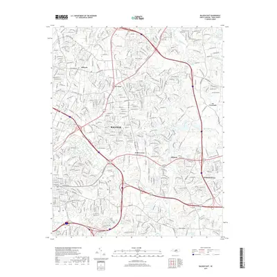
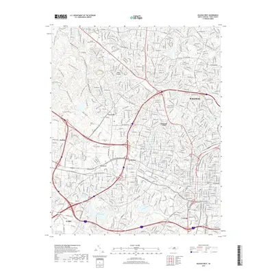
2022 Map of Lake Wheeler
USGS Topo · Published 2022About this map
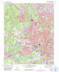
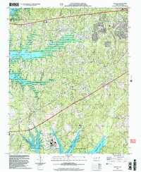
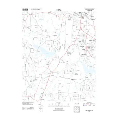
The suburban and rural edges of southern Wake County converge in this recent study, centered on the expansion of Raleigh and Cary. The landscape is characterized by a dense network of residential subdivisions like Fairway Acres, Echo Heights, and Greenbrier Estates, which intermingle with older rural settlements. Notable among these are McCullers, Banks, and Macedonia, locations that retain their identity even as the surrounding area transitions. For genealogists, the map is particularly detailed regarding family burial grounds, including Stephens, Franklin, and Sorrell cemeteries, alongside the large Montlawn Memorial Park.
Find a feature on this map
56 named features on this map. Tap any name to fly to it.
Don’t see what you’re looking for? This feature index may not catch every label — zoom into the map to look around manually.
Map Details
Editions of this 2022 Lake Wheeler Map
This is the sole edition of this map. No revisions or reprints were ever made.
Historical Maps of Raleigh Through Time
38 maps found
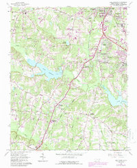
1964 Lake Wheeler
Wake County, NC
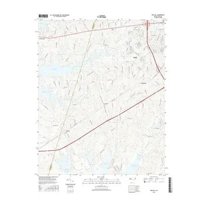
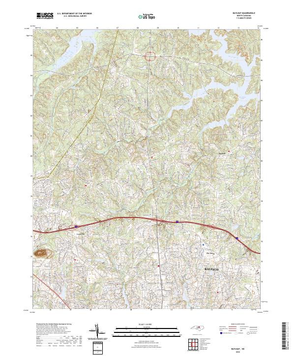
1967 Bayleaf
Wake County, NC
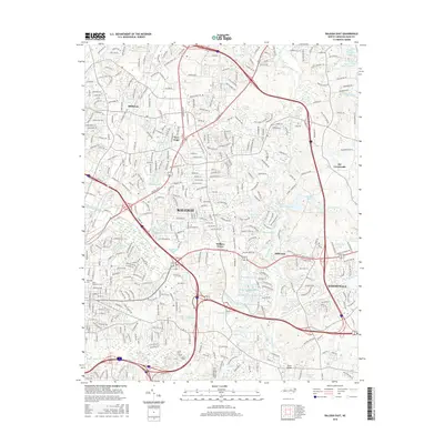
1968 Raleigh East
Wake County, NC
1968 Raleigh West
Wake County, NC
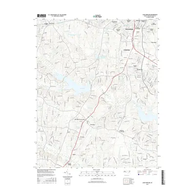
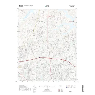
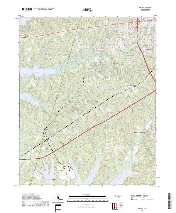
1974 New Hill
Wake County, NC
1993 Bayleaf
Wake County, NC
1993 Lake Wheeler
Wake County, NC
1993 New Hill
Wake County, NC
1993 Raleigh East
Wake County, NC
1993 Raleigh West
Wake County, NC
2002 Lake Wheeler
Wake County, NC
2002 New Hill
Wake County, NC
2002 Raleigh West
Wake County, NC
2010 Bayleaf
Wake County, NC
2010 Lake Wheeler
Wake County, NC
2010 New Hill
Wake County, NC
2010 Raleigh East
Wake County, NC
2010 Raleigh West
Wake County, NC
2013 Bayleaf
Wake County, NC
2013 Lake Wheeler
Wake County, NC
2013 New Hill
Wake County, NC
2013 Raleigh East
Wake County, NC
2013 Raleigh West
Wake County, NC
2016 Bayleaf
Wake County, NC
2016 Lake Wheeler
Wake County, NC
2016 New Hill
Wake County, NC
2016 Raleigh East
Wake County, NC
2016 Raleigh West
Wake County, NC
2019 Bayleaf
Wake County, NC
2019 Lake Wheeler
Wake County, NC
2019 New Hill
Wake County, NC
2019 Raleigh East
Wake County, NC
2019 Raleigh West
Wake County, NC
2022 Bayleaf
Wake County, NC
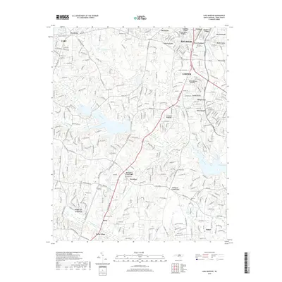
2022 Lake Wheeler
Wake County, NC
2022 New Hill
Wake County, NC
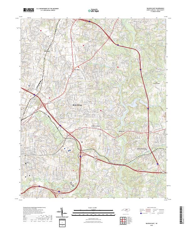
2022 Raleigh East
Wake County, NC
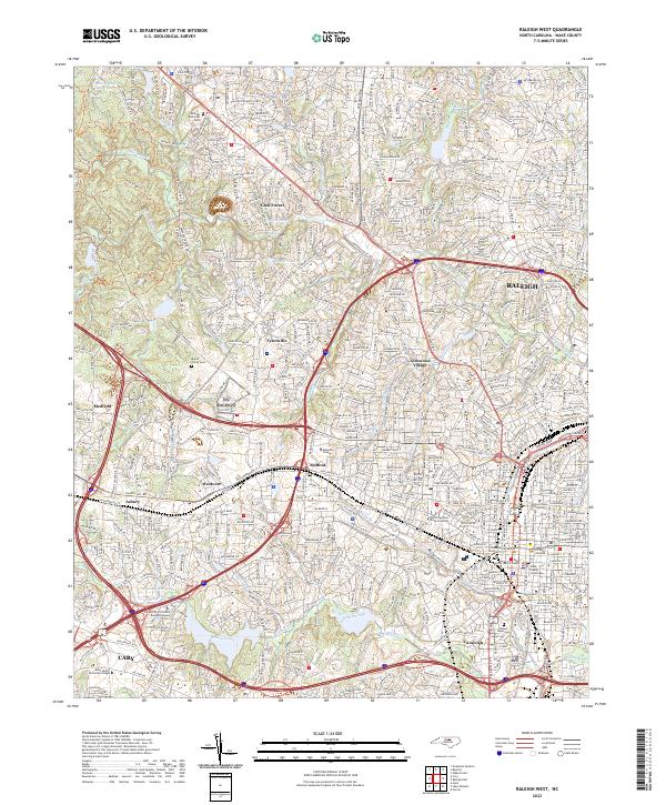
2022 Raleigh West
Wake County, NC