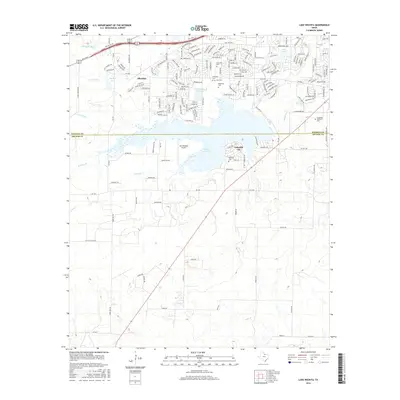
2016 Map of Lake Wichita
USGS Topo · Published 2016About this map
Lake Wichita and its surrounding suburbs dominate this transition between urban Wichita Falls and the southern ranchlands of Archer County. This period of the mid-2010s shows significant residential expansion in Lakeside City and Allendale, where modern street grids contrast with the older irrigation infrastructure of the Call Field Canal and C E Lateral. The landscape is dotted with several notable burial grounds, including the historic Bowman Cem near the lake's southern shore and a cluster of cemeteries to the north, such as Crestview Cem and Rosemont Cem. Local aviation and recreation are represented by the Tom Danaher Airport and the sprawling Crestview Memorial Park, while the hydrology of the area is defined by the Holliday Cr drainage and several managed water bodies like Sikes Lake.
Find a feature on this map
176 named features on this map. Tap any name to fly to it.
Don’t see what you’re looking for? This feature index may not catch every label — zoom into the map to look around manually.
Map Details
Editions of this 2016 Lake Wichita Map
This is the sole edition of this map. No revisions or reprints were ever made.
Other maps of this area

1916 · Iowa Park
USGS Topo · 1:24,000

1918 · Iowa Park
USGS Topo · 1:31,680

1931 · Archer City
USGS Topo · 1:62,500

1954 · Wichita Falls
USGS Topo · 1:250,000

1956 · Sloop Creek
USGS Topo · 1:24,000

1956 · Lake Wichita
USGS Topo · 1:24,000

1957 · Wichita Falls West
USGS Topo · 1:24,000

1957 · Wichita Falls East
USGS Topo · 1:62,500

1957 · Wichita Falls East
USGS Topo · 1:24,000

1957 · Wichita Falls West
USGS Topo · 1:62,500