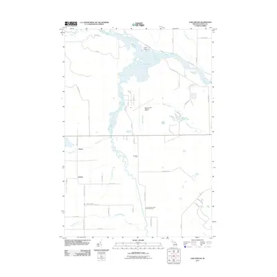
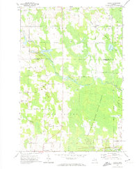
2011 Map of Lake Winyah
USGS Topo · Published 2011About this map
The Thunder Bay River and its intricate network of tributaries define this Alpena County landscape. Waterways like the Lower South Branch Thunder Bay River and Butterfield Creek carve through the terrain, feeding into the expansive Lake Winyah and Fourmile Pond. This 2011 survey captures the area’s mix of public lands and small rural settlements, including Paxton and McHarg.
Find a feature on this map
56 named features on this map. Tap any name to fly to it.
Don’t see what you’re looking for? This feature index may not catch every label — zoom into the map to look around manually.
Map Details
Editions of this 2011 Lake Winyah Map
This is the sole edition of this map. No revisions or reprints were ever made.
Other maps of this area

1954 · Tawas City
USGS Topo · 1:250,000
1954 · Alpena
USGS Topo · 1:250,000
1957 · Alpena
USGS Topo · 1:250,000
1958 · Alpena
USGS Topo · 1:250,000

1958 · Tawas City
USGS Topo · 1:250,000
1969 · Alpena
USGS Topo · 1:250,000
1971 · Lake Winyah
USGS Topo · 1:24,000
1971 · Long Lake West
USGS Topo · 1:24,000
1971 · Alpena
USGS Topo · 1:24,000
1971 · Polaski
USGS Topo · 1:24,000