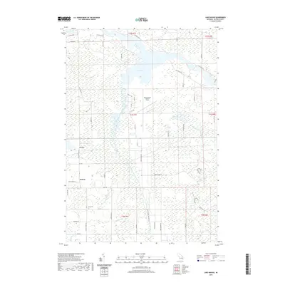
2019 Map of Lake Winyah
USGS Topo · Published 2019About this map
The Thunder Bay River and its impoundment at Lake Winyah dominate this northern Michigan landscape, where the river's path is joined by the Lower South Branch Thunder Bay River. The terrain is defined by low-lying wetlands and several smaller water bodies including Muskrat Farm Lake, Zim Lake, and King Cr. Small rural settlements like Paxton and McHarg sit along the western edge of the quadrangle, connected by historical routes such as King Settlement Rd and Taylor Hawks Rd.
Find a feature on this map
60 named features on this map. Tap any name to fly to it.
Don’t see what you’re looking for? This feature index may not catch every label — zoom into the map to look around manually.
Map Details
Editions of this 2019 Lake Winyah Map
This is the sole edition of this map. No revisions or reprints were ever made.
Other maps of this area

1954 · Tawas City
USGS Topo · 1:250,000

1954 · Alpena
USGS Topo · 1:250,000

1957 · Alpena
USGS Topo · 1:250,000

1958 · Alpena
USGS Topo · 1:250,000

1958 · Tawas City
USGS Topo · 1:250,000

1969 · Alpena
USGS Topo · 1:250,000

1971 · Lake Winyah
USGS Topo · 1:24,000

1971 · Long Lake West
USGS Topo · 1:24,000

1971 · Alpena
USGS Topo · 1:24,000

1971 · Polaski
USGS Topo · 1:24,000