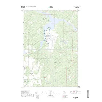
2023 Map of Lake Winyah
USGS Topo · Published 2023About this map
The Thunder Bay River winds through the heart of this landscape, its waters widening into Lake Winyah and the surrounding wetland complexes of Alpena County. This contemporary study shows the modern infrastructure of the Alpena County Regional Airport positioned centrally among the dense forests and drainage systems of McLary Creek and King Creek. The settlement patterns here are modest, with the rural communities of Paxton and McHarg serving as focal points for local history.
Find a feature on this map
62 named features on this map. Tap any name to fly to it.
Don’t see what you’re looking for? This feature index may not catch every label — zoom into the map to look around manually.
Map Details
Editions of this 2023 Lake Winyah Map
This is the sole edition of this map. No revisions or reprints were ever made.
Other maps of this area

1954 · Tawas City
USGS Topo · 1:250,000

1954 · Alpena
USGS Topo · 1:250,000

1957 · Alpena
USGS Topo · 1:250,000

1958 · Alpena
USGS Topo · 1:250,000

1958 · Tawas City
USGS Topo · 1:250,000

1969 · Alpena
USGS Topo · 1:250,000

1971 · Lake Winyah
USGS Topo · 1:24,000

1971 · Long Lake West
USGS Topo · 1:24,000

1971 · Alpena
USGS Topo · 1:24,000

1971 · Polaski
USGS Topo · 1:24,000