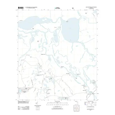
2012 Map of Lake Woodruff
USGS Topo · Published 2012About this map
Saint Johns River and Lake Woodruff dominate this central Florida landscape, forming a complex network of wetlands and oxbows. The river's winding course is marked by distinctive navigational points such as Revolving Bend, Devils Elbow, and Catfish Bend, illustrating the hydrological complexity of the basin. Settlement patterns concentrate along the southern and western margins, including the community of Fullerville and the residential clusters of Lake Kathryn Heights and Forest Hills.
Find a feature on this map
83 named features on this map. Tap any name to fly to it.
Don’t see what you’re looking for? This feature index may not catch every label — zoom into the map to look around manually.
Map Details
Editions of this 2012 Lake Woodruff Map
This is the sole edition of this map. No revisions or reprints were ever made.
Other maps of this area
1954 · Daytona Beach
USGS Topo · 1:250,000

1955 · Orlando
USGS Topo · 1:250,000

1957 · Orlando
USGS Topo · 1:250,000

1958 · Orlando
USGS Topo · 1:250,000
1958 · Daytona Beach
USGS Topo · 1:250,000
1962 · Orlando
USGS Topo · 1:250,000
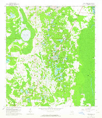
1962 · Pine Lakes
USGS Topo · 1:24,000
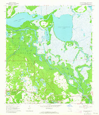
1962 · Lake Woodruff
USGS Topo · 1:24,000
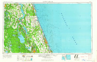
1964 · Daytona Beach
USGS Topo · 1:250,000
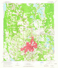
1964 · De Land
USGS Topo · 1:24,000