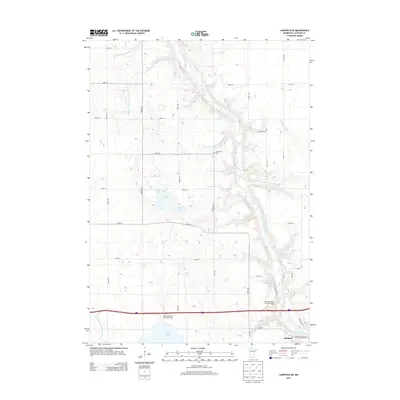
2013 Map of Lakefield NE
USGS Topo · Published 2013About this map
The Des Moines River carves a winding path through this Jackson County landscape, revealing a transition from agricultural plateau to a more complex drainage network. To the north and east, the river is fed by the South Fork Elm Cr and a series of managed waterways, including Judicial Ditch Number Eightytwo and Judicial Ditch Number Thirtyseven. These ditches reflect the long history of land reclamation and drainage management necessary for farming this region.
Find a feature on this map
33 named features on this map. Tap any name to fly to it.
Don’t see what you’re looking for? This feature index may not catch every label — zoom into the map to look around manually.
Map Details
Editions of this 2013 Lakefield NE Map
This is the sole edition of this map. No revisions or reprints were ever made.
Other maps of this area

1954 · Fairmont
USGS Topo · 1:250,000

1958 · Fairmont
USGS Topo · 1:250,000

1970 · Jackson NW
USGS Topo · 1:24,000

1970 · Lakefield SW
USGS Topo · 1:24,000

1970 · Lakefield NE
USGS Topo · 1:24,000

1970 · Jackson
USGS Topo · 1:24,000

1970 · Wilder
USGS Topo · 1:24,000

1970 · Lakefield SE
USGS Topo · 1:24,000

1970 · Lakefield
USGS Topo · 1:24,000

1970 · Windom
USGS Topo · 1:24,000