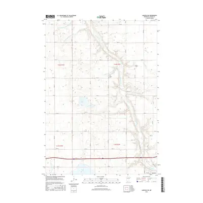
2016 Map of Lakefield NE
USGS Topo · Published 2016About this map
The Des Moines River meanders through the heart of this Jackson County landscape, defining the topography of an area dominated by agricultural drainage and prairie lakes. The complex water management system is documented through numerous engineered waterways, including Judicial Ditch Number Eightytwo, Judicial Ditch Number Twentythree, and Judicial Ditch Number Thirtyseven, which channel water across the township lines of t103n r35w and t103n r36w. For genealogists and local historians, the presence of the East Belmont Cem and West Belmont Cem on opposite sides of the river valley provides significant points of interest for family research. Natural features like Boot Lake and Clear Lake sit alongside established county routes such as Co HWY 16 and Co RD 77, illustrating the 21st-century rural infrastructure north of Jackson.
Find a feature on this map
32 named features on this map. Tap any name to fly to it.
Don’t see what you’re looking for? This feature index may not catch every label — zoom into the map to look around manually.
Map Details
Editions of this 2016 Lakefield NE Map
This is the sole edition of this map. No revisions or reprints were ever made.
Other maps of this area

1954 · Fairmont
USGS Topo · 1:250,000

1958 · Fairmont
USGS Topo · 1:250,000

1970 · Jackson NW
USGS Topo · 1:24,000

1970 · Lakefield SW
USGS Topo · 1:24,000

1970 · Lakefield NE
USGS Topo · 1:24,000

1970 · Jackson
USGS Topo · 1:24,000

1970 · Wilder
USGS Topo · 1:24,000

1970 · Lakefield SE
USGS Topo · 1:24,000

1970 · Lakefield
USGS Topo · 1:24,000

1970 · Windom
USGS Topo · 1:24,000