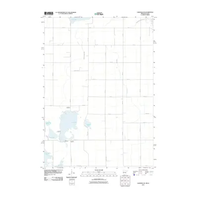
2010 Map of Lakefield SE
USGS Topo · Published 2010About this map
Loon Lake and its surrounding wetlands anchor this prairie landscape along the Minnesota-Iowa border. The topography is defined by an intricate network of drainage systems, including Judicial Ditch Number Sixtysix and Judicial Ditch Number Eight, which manage the region's surface water for agricultural use. Evidence of local recreation and community life is visible at the Loon Lake Golf Course, the Loon Lake Campground, and the Loon Lake Dam. To the south, the map captures the northern fringes of Spirit Lake and Little Spirit Lake, crossing into the neighboring state. For those tracing local heritage, the Loon Lake Cemetery sits just off County Hwy-73, near where Loon Creek exits the lake. Other notable water features include Chandler Lake, Clear Lake, and the marshy expanses of Andersons Marsh.
Find a feature on this map
36 named features on this map. Tap any name to fly to it.
Don’t see what you’re looking for? This feature index may not catch every label — zoom into the map to look around manually.
Map Details
Editions of this 2010 Lakefield SE Map
This is the sole edition of this map. No revisions or reprints were ever made.
Other maps of this area

1954 · Fairmont
USGS Topo · 1:250,000

1958 · Fairmont
USGS Topo · 1:250,000

1970 · Jackson NW
USGS Topo · 1:24,000

1970 · Lakefield SW
USGS Topo · 1:24,000

1970 · Lakefield NE
USGS Topo · 1:24,000

1970 · Jackson
USGS Topo · 1:24,000

1970 · Okoboji
USGS Topo · 1:24,000

1970 · Lakefield SE
USGS Topo · 1:24,000

1970 · Lakefield
USGS Topo · 1:24,000

1970 · Spirit Lake
USGS Topo · 1:24,000