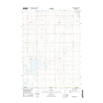
2016 Map of Lakefield SE
USGS Topo · Published 2016About this map
The borderlands of Jackson County, Minnesota, and Dickinson County, Iowa, are defined here by a glacial landscape of prairie potholes and interconnected water systems. The northern edge of the survey captures the southern outskirts of Jackson, where Judicial Ditch Number Sixteen begins its engineered course. Further south, the natural topography asserts itself through a cluster of significant water bodies including Clear Lake, Chandler Lake, and the expansive Loon Lake. This area is characterized by a mix of natural wetlands like Andersons Marsh and extensively managed drainage features such as Judicial Ditch Number Eight, illustrating the century-long effort to balance agricultural productivity with the region's high water table. Near the western shore of the main lake, the Loon Lake Cem serves as a quiet landmark for local genealogical interest, while the southern margin reaches the northern tips of Little Spirit Lake and Spirit Lake at the state line.
Find a feature on this map
33 named features on this map. Tap any name to fly to it.
Don’t see what you’re looking for? This feature index may not catch every label — zoom into the map to look around manually.
Map Details
Editions of this 2016 Lakefield SE Map
This is the sole edition of this map. No revisions or reprints were ever made.
Other maps of this area

1954 · Fairmont
USGS Topo · 1:250,000

1958 · Fairmont
USGS Topo · 1:250,000

1970 · Jackson NW
USGS Topo · 1:24,000

1970 · Lakefield SW
USGS Topo · 1:24,000

1970 · Lakefield NE
USGS Topo · 1:24,000

1970 · Jackson
USGS Topo · 1:24,000

1970 · Okoboji
USGS Topo · 1:24,000

1970 · Lakefield SE
USGS Topo · 1:24,000

1970 · Lakefield
USGS Topo · 1:24,000

1970 · Spirit Lake
USGS Topo · 1:24,000