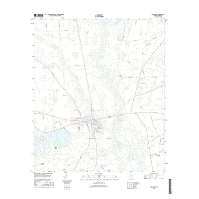
2017 Map of Lakeland
USGS Topo · Published 2017About this map
Lakeland serves as the central hub of this South Georgia landscape, where the street grid meets the expansive waters of Banks Lake. The town's layout is defined by residential corridors like N Lakeshore Dr and W Patten Ave, while the nearby Bake Irma settlement sits just to the east. The terrain is dominated by complex wetlands and hydrologic features, including the winding Alapaha River and the broad Milltown Bay.
Find a feature on this map
108 named features on this map. Tap any name to fly to it.
Don’t see what you’re looking for? This feature index may not catch every label — zoom into the map to look around manually.
Map Details
Editions of this 2017 Lakeland Map
This is the sole edition of this map. No revisions or reprints were ever made.
Other maps of this area

1953 · Waycross
USGS Topo · 1:250,000

1954 · Valdosta
USGS Topo · 1:250,000

1958 · Valdosta
USGS Topo · 1:250,000

1958 · Waycross
USGS Topo · 1:250,000

1959 · Valdosta
USGS Topo · 1:250,000

1968 · Naylor
USGS Topo · 1:24,000

1968 · Lakeland
USGS Topo · 1:24,000

1971 · Stockton
USGS Topo · 1:24,000
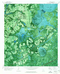
1971 · Bemiss
USGS Topo · 1:24,000

1972 · Sirmans
USGS Topo · 1:24,000