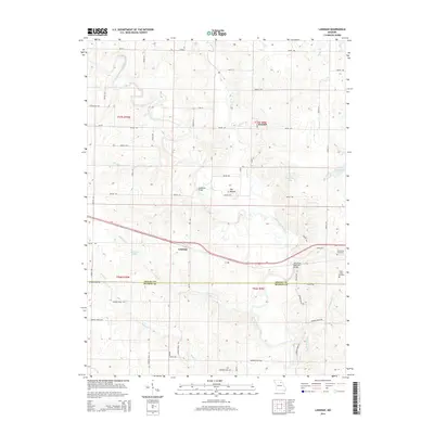
2014 Map of Lakenan
USGS Topo · Published 2014About this map
Lakenan and Kendall sit within a landscape defined by the winding course of the North Fork Salt River and its many tributaries, including Black Cr and Jackson Cr. This northeastern Missouri terrain is marked by a grid of rural roads like Shelby 472 and Monroe Road 390, crossing the county line between Shelby and Monroe counties. The presence of the BNSF Railway following the river valley highlights the importance of the rail corridor through the region. Significant local landmarks such as The Mound and several small bodies of water like Hunnewell Lake and Paradise Lake break the agricultural pattern. For those tracing local heritage, the map identifies the Saint Johns Cemetery and Hunnewell Cemetery, providing specific points of reference for genealogical research near these small communities and the Salt River Railroad Bridge.
Find a feature on this map
58 named features on this map. Tap any name to fly to it.
Don’t see what you’re looking for? This feature index may not catch every label — zoom into the map to look around manually.
Map Details
Editions of this 2014 Lakenan Map
This is the sole edition of this map. No revisions or reprints were ever made.
Other maps of this area

1903 · Palmyra
USGS Topo · 1:125,000

1948 · Quincy
USGS Topo · 1:250,000

1953 · Moberly
USGS Topo · 1:250,000

1954 · Moberly
USGS Topo · 1:250,000

1956 · Quincy
USGS Topo · 1:250,000

1957 · Moberly
USGS Topo · 1:250,000

1959 · Shelbina
USGS Topo · 1:24,000

1959 · Lakenan
USGS Topo · 1:24,000

1959 · Hunnewell
USGS Topo · 1:24,000

1960 · Moberly
USGS Topo · 1:250,000