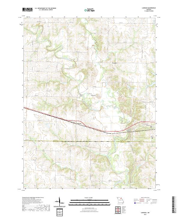
2021 Map of Lakenan
USGS Topo · Published 2021About this map
The North Fork Salt River meanders across this rural landscape at the border of Shelby and Monroe counties, defining the region's topography and drainage. Small rural communities like Lakenan and Kendall serve as focal points for the surrounding agricultural lands, connected by a network of county roads. The importance of the river crossings is evidenced by landmarks such as the Kincheloe Bridge and the Salt River Railroad Bridge, which facilitate movement across the winding waterway and its tributaries, including Black Cr and Thomas Cr.
Find a feature on this map
58 named features on this map. Tap any name to fly to it.
Don’t see what you’re looking for? This feature index may not catch every label — zoom into the map to look around manually.
Map Details
Editions of this 2021 Lakenan Map
This is the sole edition of this map. No revisions or reprints were ever made.
Other maps of this area

1903 · Palmyra
USGS Topo · 1:125,000

1948 · Quincy
USGS Topo · 1:250,000

1953 · Moberly
USGS Topo · 1:250,000

1954 · Moberly
USGS Topo · 1:250,000

1956 · Quincy
USGS Topo · 1:250,000

1957 · Moberly
USGS Topo · 1:250,000

1959 · Shelbina
USGS Topo · 1:24,000

1959 · Lakenan
USGS Topo · 1:24,000

1959 · Hunnewell
USGS Topo · 1:24,000

1960 · Moberly
USGS Topo · 1:250,000