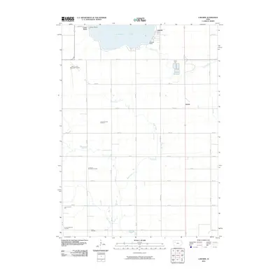
2010 Map of Lakeside
USGS Topo · Published 2010About this map
Storm Lake dominates the northern horizon of this Iowa landscape, its shoreline defining the development of the community of Lakeside. This 2010 topographic representation illustrates the relationship between the southern edge of the lake and the surrounding agricultural grid of Buena Vista County. The map details the residential layout of Lakeside and the adjacent shoreline features, providing a clear record of the area’s hydrology and local road network as they existed at the turn of the decade. Beyond the residential clusters, the terrain transitions into the patterned fields and rural routes characteristic of the region’s farming heritage.
Find a feature on this map
2 named features on this map. Tap any name to fly to it.
Don’t see what you’re looking for? This feature index may not catch every label — zoom into the map to look around manually.
Map Details
Editions of this 2010 Lakeside Map
This is the sole edition of this map. No revisions or reprints were ever made.
Other maps of this area

1954 · Fort Dodge
USGS Topo · 1:250,000

1957 · Fort Dodge
USGS Topo · 1:250,000

1958 · Fort Dodge
USGS Topo · 1:250,000

1979 · Lakeside
USGS Topo · 1:24,000

1979 · Storm Lake
USGS Topo · 1:24,000

1979 · Newell West
USGS Topo · 1:24,000

1979 · Alta
USGS Topo · 1:24,000

1979 · Schaller North
USGS Topo · 1:24,000

1979 · Storm Lake NE
USGS Topo · 1:24,000

1980 · Early
USGS Topo · 1:24,000