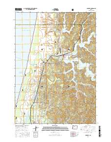
2017 Map of Lakeside
USGS Topo · Published 2017About this map
Lakeside and the surrounding coastal landscape of Coos and Douglas counties are defined by a complex network of freshwater lakes separated from the Pacific Ocean by a narrow strip of forested dunes. This 2017 study captures the community at the junction of Tenmile Lake and N Tenmile Lake, where the shoreline is deeply etched into numerous fingers such as Blacks Arm, Lindros Arm, and Shutter Arm. This branching aquatic geography creates a unique residential pattern where many properties are oriented toward the water rather than a traditional street grid.
Find a feature on this map
72 named features on this map. Tap any name to fly to it.
Don’t see what you’re looking for? This feature index may not catch every label — zoom into the map to look around manually.
Map Details
Editions of this 2017 Lakeside Map
This is the sole edition of this map. No revisions or reprints were ever made.
Other maps of this area

1896 · Coos Bay
USGS Topo · 1:125,000

1898 · Coos Bay
USGS Topo · 1:125,000

1900 · Coos Bay
USGS Topo · 1:125,000

1923 · Reedsport
USGS Topo · 1:62,500

1942 · Reedsport
USGS Topo · 1:62,500

1942 · Empire
USGS Topo · 1:62,500

1942 · Coos Bay
USGS Topo · 1:62,500

1944 · Empire
USGS Topo · 1:62,500

1945 · Coos Bay
USGS Topo · 1:62,500

1954 · Coos Bay
USGS Topo · 1:250,000