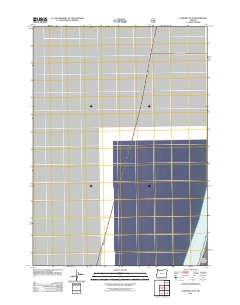
2011 Map of Lakeside OE W
USGS Topo · Published 2011About this map
The Pacific Ocean occupies the southeastern corner of this maritime chart, representing the vast coastal waters off the Oregon shoreline. This 2011 survey illustrates the precise coordinates and universal transverse mercator grid used for modern marine and land navigation along the coast of Douglas County. While the majority of the quadrangle covers open water, it serves as a critical reference for the boundary where the sea meets the coastal terrain near Pacific Ocean waters. The lack of land-based infrastructure highlights the maritime nature of this specific quadrant, prioritizing hydrographic data and coordinate systems for use by the U.S. Forest Service and other federal agencies managing the Pacific Northwest shoreline.
Find a feature on this map
1 named feature on this map. Tap any name to fly to it.
Don’t see what you’re looking for? This feature index may not catch every label — zoom into the map to look around manually.
Map Details
Editions of this 2011 Lakeside OE W Map
This is the sole edition of this map. No revisions or reprints were ever made.
Other maps of this area

1896 · Coos Bay
USGS Topo · 1:125,000

1898 · Coos Bay
USGS Topo · 1:125,000

1900 · Coos Bay
USGS Topo · 1:125,000

1923 · Reedsport
USGS Topo · 1:62,500

1942 · Reedsport
USGS Topo · 1:62,500

1942 · Empire
USGS Topo · 1:62,500

1942 · Coos Bay
USGS Topo · 1:62,500

1944 · Empire
USGS Topo · 1:62,500

1945 · Coos Bay
USGS Topo · 1:62,500

1954 · Coos Bay
USGS Topo · 1:250,000