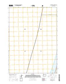
2014 Map of Lakeside OE W
USGS Topo · Published 2014About this map
Douglas County and Coos County converge along a diagonal boundary in this coastal Oregon survey. The map primarily documents the jurisdictional lines and federal land boundaries where the Siuslaw National Forest meets the edge of the Pacific Ocean. This 2014 edition is notable for its focus on the administrative divisions of the Oregon coast, showing the exact point where the Douglas and Coos county lines meet the shoreline. Unlike many topographic sheets, this specific production emphasizes these significant geopolitical and forest service boundaries without inland contour data, providing a specialized look at the coastal interface between two major counties and the protected national forest lands that define this stretch of the Pacific Northwest.
Find a feature on this map
5 named features on this map. Tap any name to fly to it.
Don’t see what you’re looking for? This feature index may not catch every label — zoom into the map to look around manually.
Map Details
Editions of this 2014 Lakeside OE W Map
This is the sole edition of this map. No revisions or reprints were ever made.
Other maps of this area

1896 · Coos Bay
USGS Topo · 1:125,000

1898 · Coos Bay
USGS Topo · 1:125,000

1900 · Coos Bay
USGS Topo · 1:125,000

1923 · Reedsport
USGS Topo · 1:62,500

1942 · Reedsport
USGS Topo · 1:62,500

1942 · Empire
USGS Topo · 1:62,500

1942 · Coos Bay
USGS Topo · 1:62,500

1944 · Empire
USGS Topo · 1:62,500

1945 · Coos Bay
USGS Topo · 1:62,500

1954 · Coos Bay
USGS Topo · 1:250,000