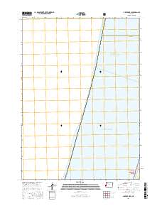
2017 Map of Lakeside OE W
USGS Topo · Published 2017About this map
The Pacific Ocean dominates this coastal survey, where the open waters meet the western edge of the Oregon shoreline. This map captures a precise maritime and administrative boundary, illustrating the point where Douglas County and Coos County converge along the coastline. The terrestrial portion of the map is focused on the very edge of the Siuslaw National Forest, showing the transition from the marine environment to federally protected forest lands. Because the map primarily covers the offshore area, it highlights the spatial relationship between the county lines as they extend toward the sea, providing a clean record of these legal and natural divisions as they existed in the late twenty-tens.
Find a feature on this map
7 named features on this map. Tap any name to fly to it.
Don’t see what you’re looking for? This feature index may not catch every label — zoom into the map to look around manually.
Map Details
Editions of this 2017 Lakeside OE W Map
This is the sole edition of this map. No revisions or reprints were ever made.
Other maps of this area

1896 · Coos Bay
USGS Topo · 1:125,000

1898 · Coos Bay
USGS Topo · 1:125,000

1900 · Coos Bay
USGS Topo · 1:125,000

1923 · Reedsport
USGS Topo · 1:62,500

1942 · Reedsport
USGS Topo · 1:62,500

1942 · Empire
USGS Topo · 1:62,500

1942 · Coos Bay
USGS Topo · 1:62,500

1944 · Empire
USGS Topo · 1:62,500

1945 · Coos Bay
USGS Topo · 1:62,500

1954 · Coos Bay
USGS Topo · 1:250,000