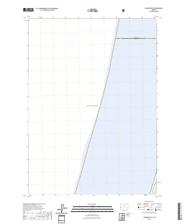
2024 Map of Lakeside OE W
USGS Topo · Published 2024About this map
The vast expanse of the Pacific Ocean dominates this maritime survey, illustrating the dynamic edge of the Oregon coast where the sea meets land. A significant portion of the coastline is protected as part of the Oregon Islands Wilderness, a designation reflecting a landscape preserved for its natural character. The map documents the boundary line between Douglas Co and Coos Co as it extends toward the shoreline. Surveyed in the early 2020s, this chart emphasizes the jurisdictional and environmental divisions of the coastal zone, including the public land divisions within t24s r13w. While largely defined by open water, the sheet provides precise positioning for the rocky outcroppings and island habitats that define this wilderness area.
Find a feature on this map
4 named features on this map. Tap any name to fly to it.
Don’t see what you’re looking for? This feature index may not catch every label — zoom into the map to look around manually.
Map Details
Editions of this 2024 Lakeside OE W Map
This is the sole edition of this map. No revisions or reprints were ever made.
Other maps of this area

1896 · Coos Bay
USGS Topo · 1:125,000

1898 · Coos Bay
USGS Topo · 1:125,000

1900 · Coos Bay
USGS Topo · 1:125,000

1923 · Reedsport
USGS Topo · 1:62,500

1942 · Reedsport
USGS Topo · 1:62,500

1942 · Empire
USGS Topo · 1:62,500

1942 · Coos Bay
USGS Topo · 1:62,500

1944 · Empire
USGS Topo · 1:62,500

1945 · Coos Bay
USGS Topo · 1:62,500

1954 · Coos Bay
USGS Topo · 1:250,000