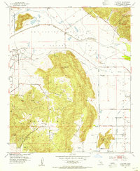
1953 Map of Lakeview
USGS Topo · Published 1955About this map
San Jacinto Nuevo Potrero land grant boundaries define the northern layout of this Riverside County landscape, where the San Jacinto River valley meets the granite peaks of the Lakeview Mountains. By the early 1950s, the area had become a hub of water management and agriculture, anchored by the massive Colorado River Aqueduct and the San Jacinto Reservoir. The small settlement of Lakeview sits at the base of the hills, surrounded by a grid of citrus groves and ranching tracts like the Bar V Ranch.
Find a feature on this map
61 named features on this map. Tap any name to fly to it.
Don’t see what you’re looking for? This feature index may not catch every label — zoom into the map to look around manually.
Map Details
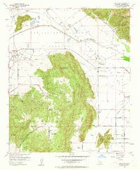
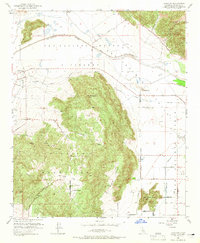
Editions of this 1953 Lakeview Map
3 editions found
Other maps of this area

1901 · Southern California Sheet No. 1
USGS Topo · 1:250,000

1901 · San Jacinto
USGS Topo · 1:125,000

1901 · Elsinore
USGS Topo · 1:125,000

1904 · Southern California Sheet No. 1
USGS Topo · 1:250,000

1942 · Banning
USGS Topo · 1:62,500

1942 · Hemet
USGS Topo · 1:62,500

1942 · Murrieta
USGS Topo · 1:62,500

1942 · Perris
USGS Topo · 1:62,500

1943 · Perris
USGS Topo · 1:62,500

1943 · Hemet
USGS Topo · 1:62,500