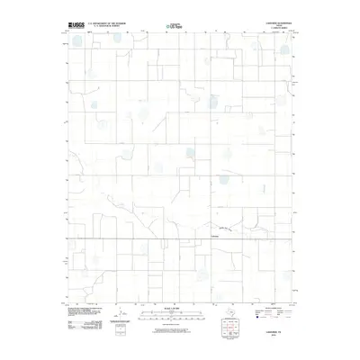
2010 Map of Lakeview
USGS Topo · Published 2010About this map
Lakeview serves as the primary focal point of this 2010 survey, situated within a landscape defined by the geometric precision of the Texas Panhandle's rural road network. The terrain is marked by numerous ephemeral lakes and depressions, a characteristic feature of the Llano Estacado's hydrology. Cutting across the lower third of the quadrangle is the Middle Tule Draw, a significant drainage feature that provides topographical variation to the otherwise level agricultural expanse. The infrastructure is dominated by a grid of county routes, including Co RD J and Co RD K, which facilitate access to the surrounding farmsteads. This map illustrates the intersection of modern transportation via FM 1424 with the traditional land divisions that have structured this region for over a century.
Find a feature on this map
15 named features on this map. Tap any name to fly to it.
Don’t see what you’re looking for? This feature index may not catch every label — zoom into the map to look around manually.
Map Details
Editions of this 2010 Lakeview Map
This is the sole edition of this map. No revisions or reprints were ever made.
Other maps of this area

1954 · Plainview
USGS Topo · 1:250,000

1954 · Clovis
USGS Topo · 1:250,000

1958 · Clovis
USGS Topo · 1:250,000

1958 · Plainview
USGS Topo · 1:250,000

1965 · Hart
USGS Topo · 1:24,000

1965 · Edmonson NE
USGS Topo · 1:24,000

1965 · Tulia
USGS Topo · 1:24,000

1965 · Lakeview
USGS Topo · 1:24,000

1965 · Happy
USGS Topo · 1:24,000

1965 · Nazareth
USGS Topo · 1:24,000